Options d'inscription
Objectives :
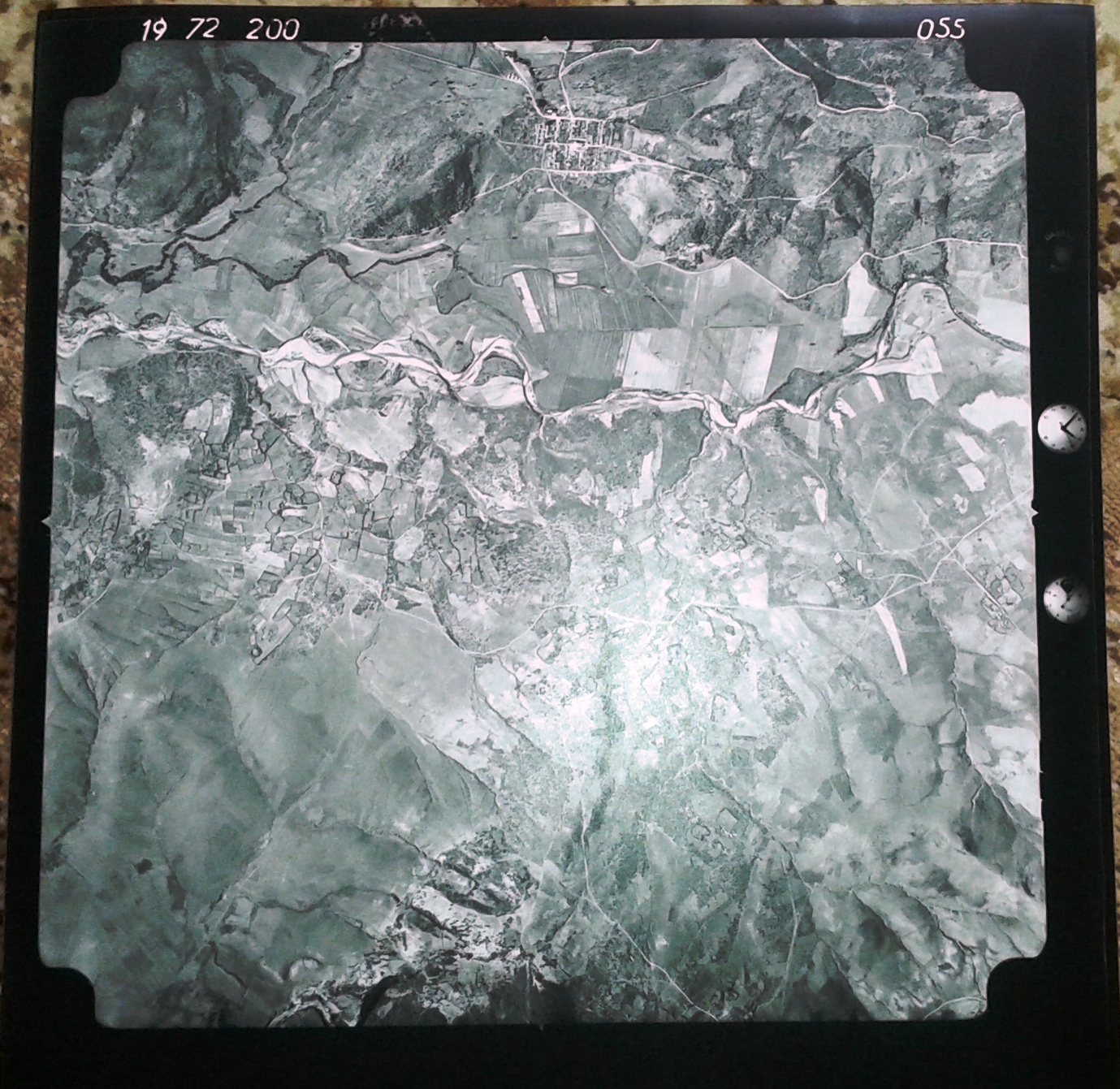
To explore the place and utility of remote sensing in a geographical approach of territory. Also, to provide the theoretical and methodological elements essential for understanding the information obtained from aerial photographs and satellite images.
To explore the place and utility of remote sensing in a geographical approach of territory. Also, to provide the theoretical and methodological elements essential for understanding the information obtained from aerial photographs and satellite images.
- Enseignant: Saif Eddine DERRADJI